Environmental Studies: solving complex problems
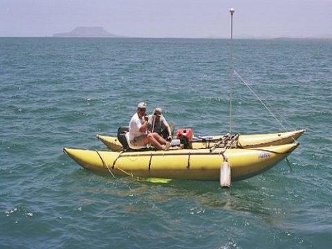
Study and Characterization of the Gulf Stream
Since 2012 have a contract with NOAA (National Oceanographic and Atmospheric Administration) to assist in their monthly studies along Latitude 27 from West Palm Beach, FL. to West End, Bahamas crossing the Gulf Stream taking data profiles of the water column at 9 pre-determined stations assisting NOAA personnel.
Schooner Shoals Project, Eleuthera, Bahamas
Under contract with the National Science Foundation and Dr. Gene Rankey from the University of Kansas, we realized the study: “Geomorphic Evolution and Heterogeneity of Holocene Carbonate Tidal Sand Shoals” utilizing our GeoCat technology and our Shallow water survey vessel Ooid in Schooner Shoals, Bahamas.
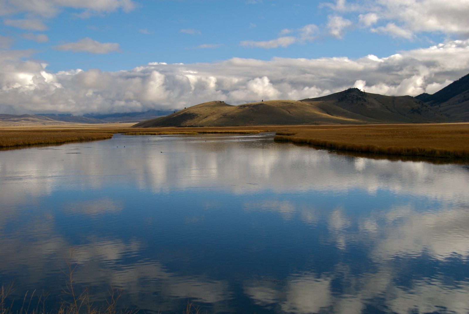
Lilly Bank, Bahamas
In Collaboration With Dr. Gene Rankey From the Marine Geology Department
of the University of Miami at RSMAS, and under contract with the
National Science Foundation, a geophysical and Hydrographic study of the
Lilly Bank was done to complement our previous studies of the area in
the dynamic processes of sediment transport.
Walkers Cay, Bahamas
Exxon-Mobil in cooperation with Dr. Gene Rankey, a comprehensive geophysical survey of the area in the vicinity of Walkers Key was done utilizing our GeoCat technology including our CHIRP and our Applied Acoustic Boomer. As survey platform utilized our geophysical research vessel “Ooid”. We collected lines starting at 50 Centimeters water depth and ending at 600 meters to have a complete characterization of the area.
Little Bahama Bank, Bahamas
In cooperation with Dr. Gene Rankey of the University of Miami as part of his ongoing scientific research on Ooids and marine sediment transport, we used GeoCat technology with our CHIRP Sub-bottom Profiler to study the shallow banks of Lily Bank, The Horse, Strangers Key, Walkers Cay and surrounding waters.
Coral Reefs, St. Croix, Virgin Islands
In cooperation with the US National Park Service personnel and with Dr. Pam Reid’s University of Miami Team acquired data and produced Maps and coral reef mosaics in the National Underwater Marine Park in St. Croix utilizing the Diver Held Coral Reef Mapper designed by Bert Instruments for Professor Reid.
Coral Reefs in the Florida Keys
Coral Reef mapping of several sites in the Florida Keys to test and produce mosaics utilizing the Diver Held Coral Reef Mapper designed for Dr. Pam Reid of the University of Miami under contract with SERDP/U.S. Department of Defense to complement the ROV mapping system designed in 2006.
Coral Reef Mapper Design/Construction
Developed the hardware systems utilizing high definition video and synchronized still photography for a diver-held system to create mosaics of the coral reefs for Dr. Pam Reid of the University of Miami. This design was part of the 2009 project of the year from SDERP, Department of Defense awarded to Dr. Reid and her team.