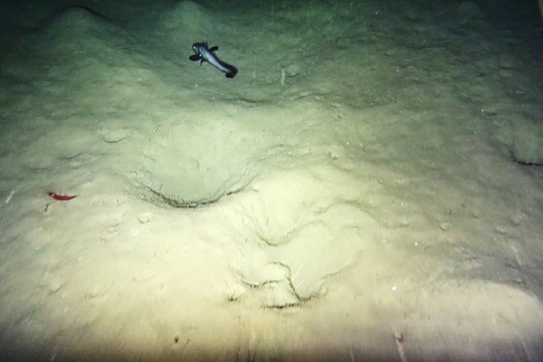
Geophysical and Environmental Studies

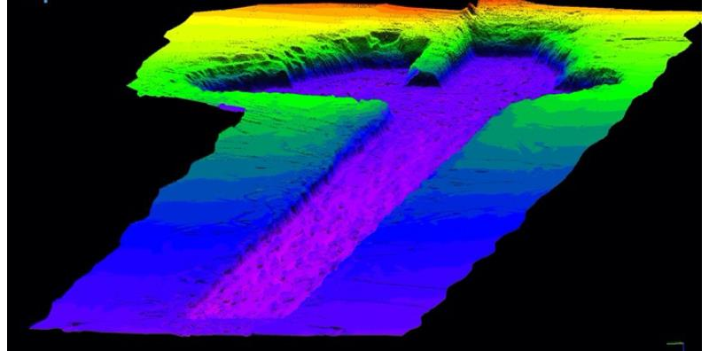
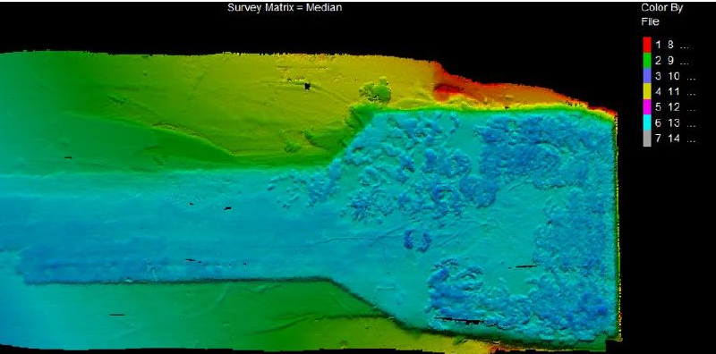
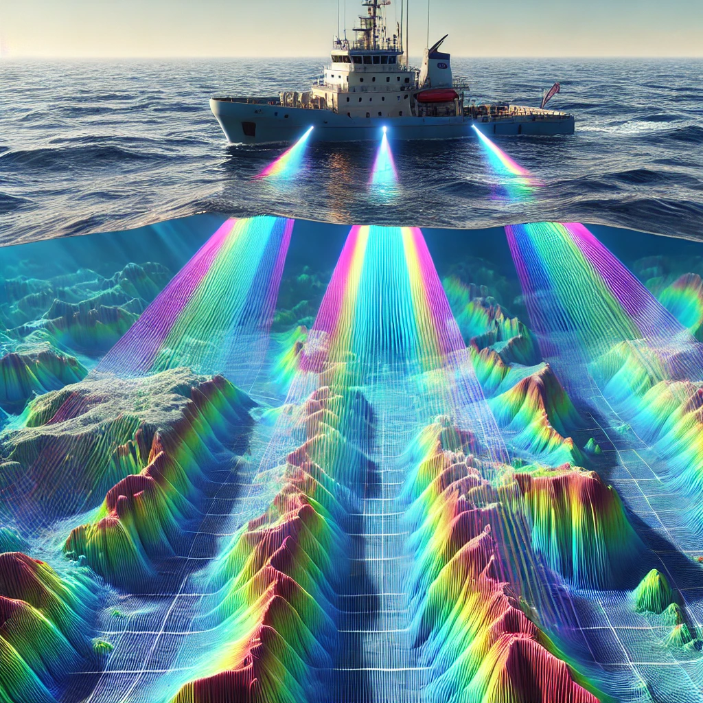
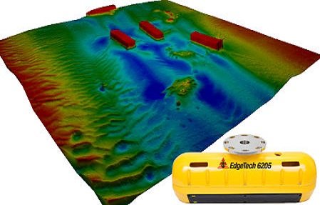
Ocean Bottom Mapping in 2D and 3D

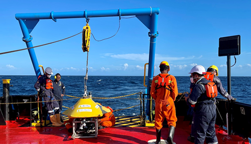
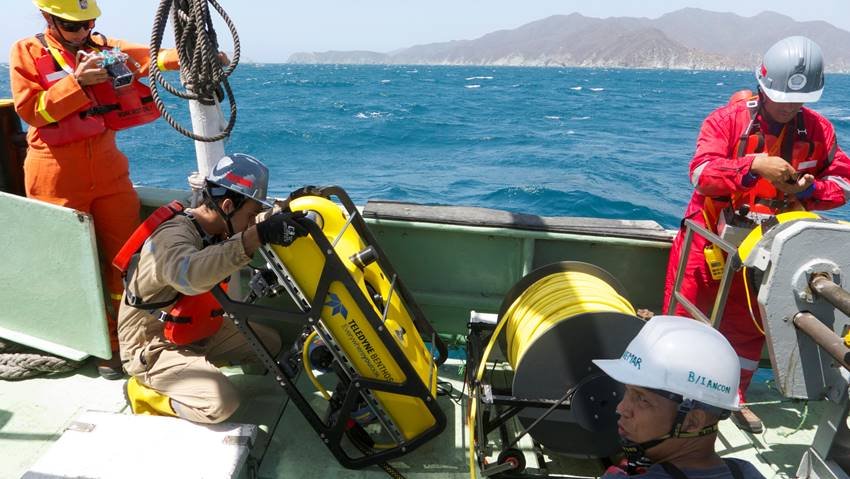
ROV Operations
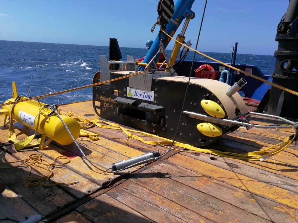
Side Scan Sonar Mapping and Mosaicking
Magnetic Studies
Pre and Post Dredging Studies
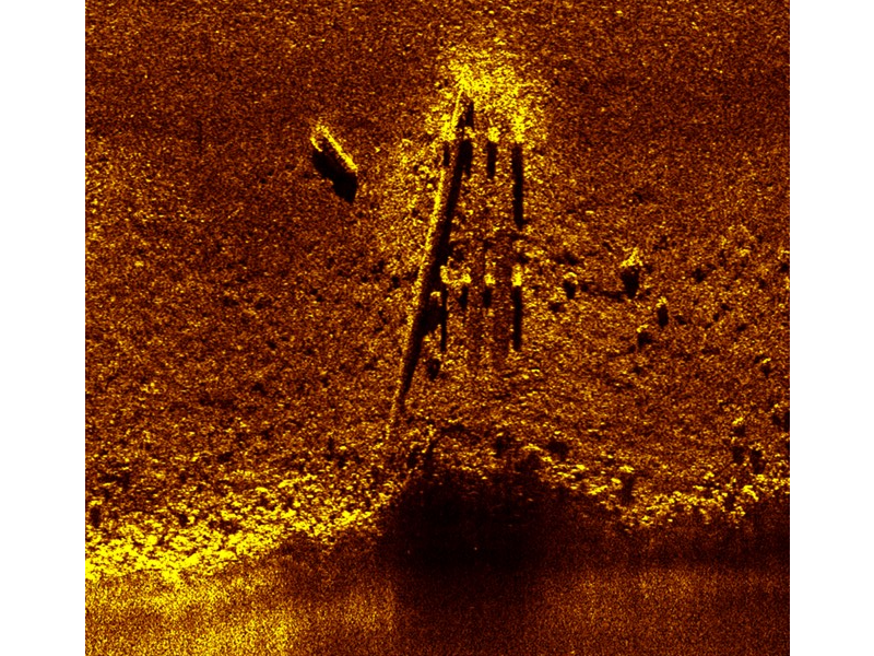
Side Scan / Magnetometro
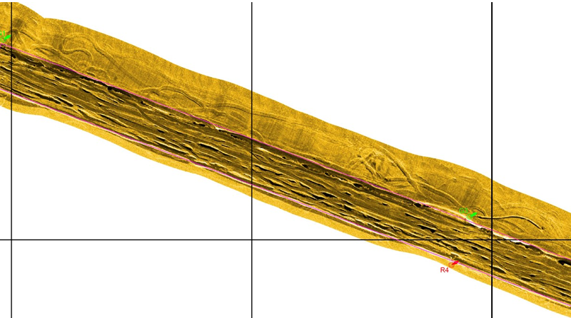
Bathymetry in 2D and 3D